Age of Aerial Imagery
One of our most frequently asked questions is "what is the age of the aerial imagery?". Find out how to answer this question by following these steps:
Latest Aerial Imagery
1. Enter the search term imagery into the top right corner search box.
2. Open the Latest Aerial Imagery map.
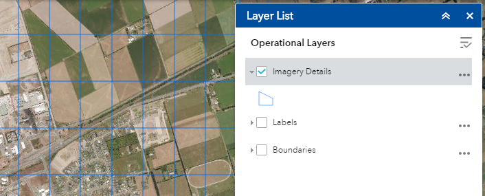
3. Turn on the imagery details in the layer list and zoom into your area of interest.
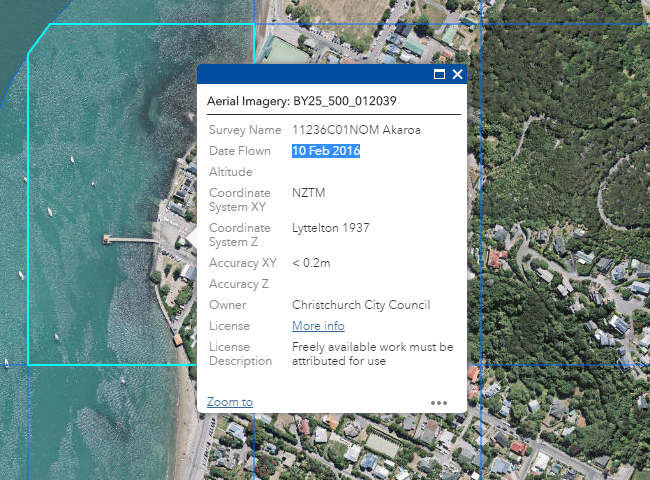
4. Click on a map tile to see Date Flown .

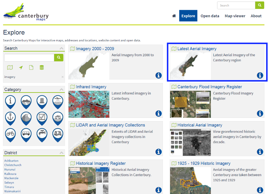
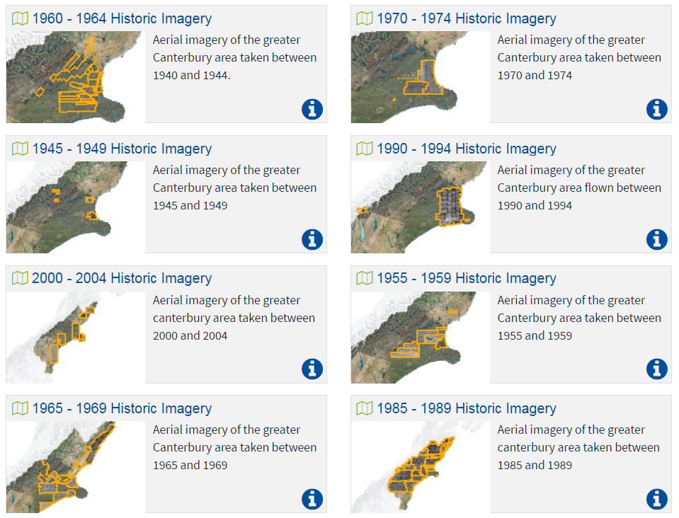
Historic Aerial Imagery
1. Search for Historic Imagery through explore.
2. Click on the historic year group map of interest.
3. In the map viewer, open the layer list and tick on the historic imagery footprints.
4. Zoom into the map and click on the image. A pop up should appear with the historic imagery survey details.