Map viewer
The Map viewer allows you to search, view and interact with spatial information using your web browser. It can be accessed from any computer, tablet or mobile device.
Access the Map Viewer here
Or select the map viewer option along the tab at the top of the page
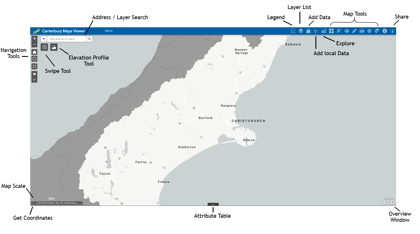
It contains the following range of tools to facilitate your exploration of maps and open data freely available on Canterbury Maps:
| - Address / layer search | - Add data / Add local data | - Attribute table |
| - Navigation tools | - Explore maps | - Swipe and elevation profile tools |
| - Legend and layer list | - Printing | - Share |
| - Select | - Draw and Measure | - Locate |