Add data
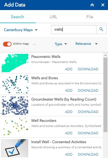
Click on the add data icon ![]() to add layers to your map. Type in a keyword to search for data or scroll through the available layers in the tool.
to add layers to your map. Type in a keyword to search for data or scroll through the available layers in the tool.
Add data to the map
Clicking  or
or  on an item will add or remove the data from your map.
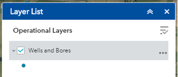
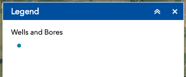
Once added the layer should appear in the layer list and legend.
Sort
By default the add data tool will sort content based on relevance to the entered search term. However, clicking on the sort by  drop down also allows the user to sort the content by the title.
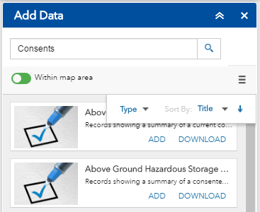
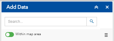
Toggle the within map area button to show / hide data within your current map extent.
Download
Layers that have been made available by the Canterbury Maps Partners and have a Creative Commons Attribution 3.0 New Zealand License ![]() will have a download link next to the item.
will have a download link next to the item.
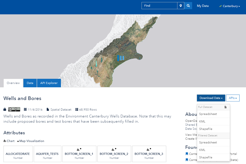
Clicking on the  button will open the Canterbury Maps open data site where you can download the data.
Details
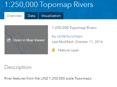
Items that are not currently available to download will have a  link that opens a new window with the layer description.
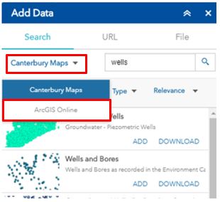
Adding Data from ArcGIS Online
Data can be added to the map from ArcGIS Online, not just from Canterbury Maps. To do this simply click the drop down located next to the search box and select 'ArcGIS Online'.
Note: Data made available on this platform is global, meaning there will be a lot of data for other areas of the world, some of the data will not be viewable in Canterbury
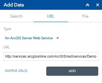
Adding Data via a URL
Data can be added to the map via a URL:
- An ArcGIS Server Web Service
- A WMS OGC Web Service
- A KML File
- A GeoRSS File
- A CSV File
Select the 'URL' tab along the top of the add data tool and insert your URL
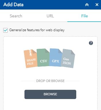
Adding Data From a File
Data can also be added from files located on your computer, int he following formats:
- A Shapefile
- CSV File
- GPX File
- GeoJSON
Navigate to the 'file' tab on the add data tool and select browse to locate your file of choice. Click on the  to find out more information about these data types