Eliot Sinclair

Company size: 95
Founded: 1932
Most useful service: Canterbury Maps Data, Resource Consents and Monitoring, Groundwater
Most useful map/tool: Christchurch Aerial Photography, Consented activities, Wells and Piezometeric Contours
Website: http://www.eliotsinclair.co.nz
Industries work within: Land development, residential and commercial construction, environmental and surveying
Who are we?
We are a survey, engineering and planning consultancy based in Christchurch, New Zealand. Experienced staff combined with state of the art technology ensures that Eliot Sinclair provide a level of service and a product that is second to none. We specialise in civil and structural engineering, geotechnical and environmental engineering, land development, planning and resource management, hydrographic surveying, cadastral surveying, GPS applications and survey control. To find out more about how Eliot Sinclair can help you with your next project visit us at www.eliotsinclair.co.nz
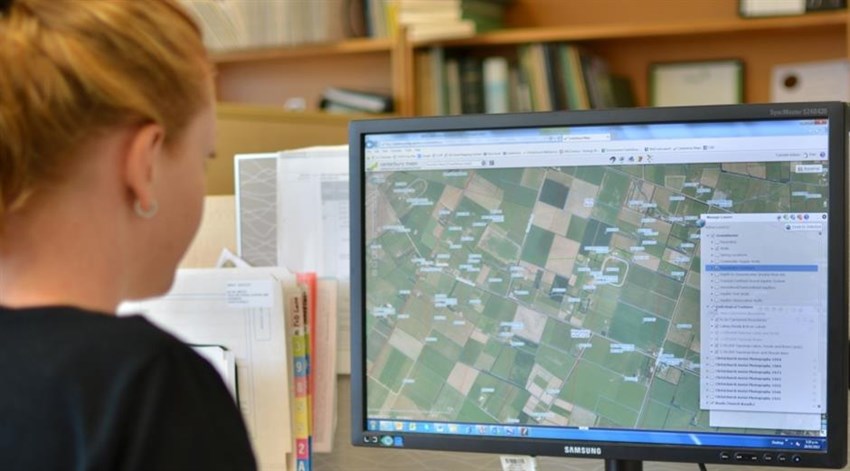
How we use Canterbury Maps?
Our geotechnical engineering team at Eliot Sinclair frequently use ECans’s GIS mapping system to review Well log records to identify underlying geology and to assess the depth of groundwater.
Historical aerial photographs shown on the GIS are also used to determine site history which is useful for our civil and geotechnical engineers, and for the environmental engineers when assessing any risk of contamination.
The GIS mapping system is also helpful in Identifying Consented Activities and is commonly used by our planning team.
In summary, the information shown on Ecan’s GIS is a valuable resource for Eliot Sinclair’s land development consultants, and can assist in investigation issues for our clients and to keep costs down.