News
Map viewer updates
The map viewer has received some major updates. New map tools are now available for use.
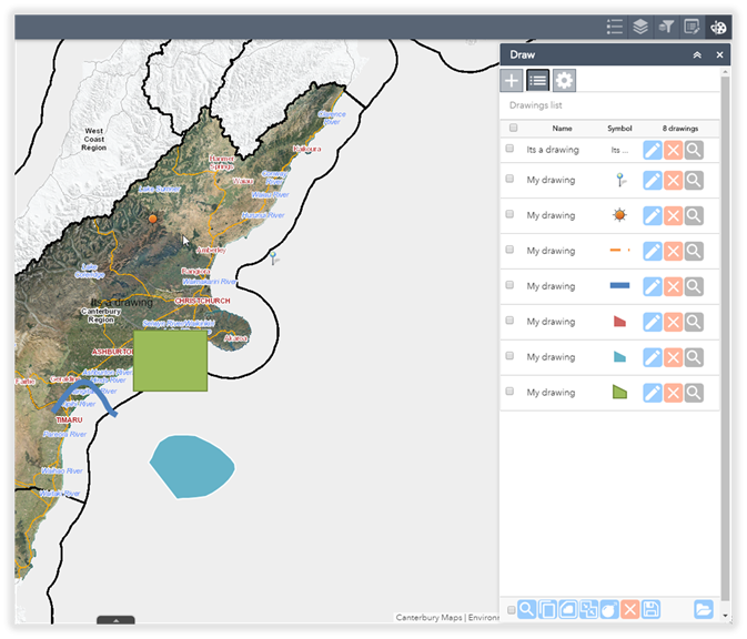
Drawing tools
-
Copy a feature
-
Buffer features by a set distance
-
Merge features - combine multiple drawings into one
-
Explode features - creates individual drawings from a collection of merged features
-
Save drawings - save to a file on your computer to use at a later date or to share with others
-
Import drawings - import drawings from your computer or drawings received from others
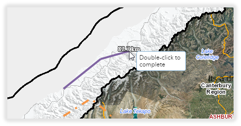
Interactive measure tool
When drawing a line, the measurements will update interactively as you draw a feature.
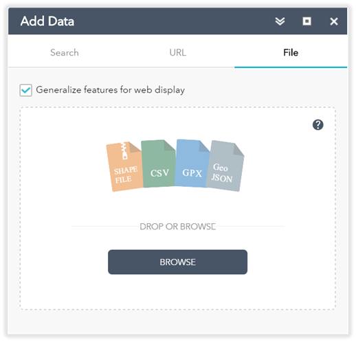
Add data formats
Add spatial data to your map from a shapefile, CSV (excel spreadsheet), GPX or GeoJSON file. Alternatively add data from a web service URL.
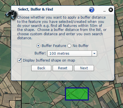
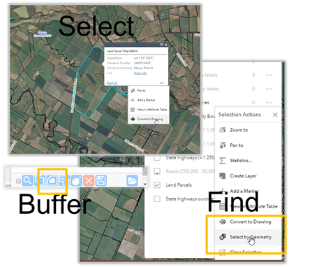
Select, Buffer, Find
The old advanced viewer select, buffer, find tool have been replaced with a new set of functions in the new viewer.
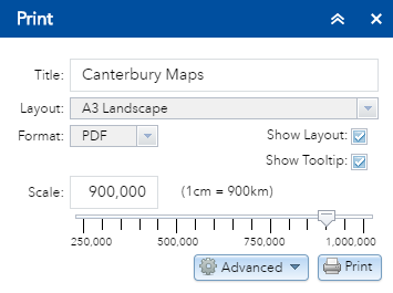
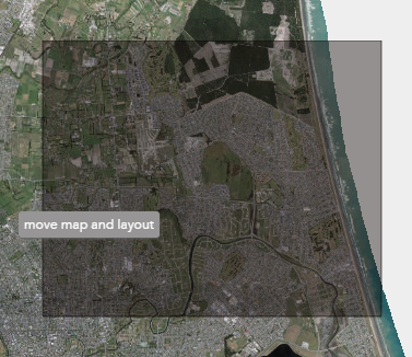
See the overview of the map before you print it. The layout and format of the print output can be changed accordingly.