News

View recorded session here
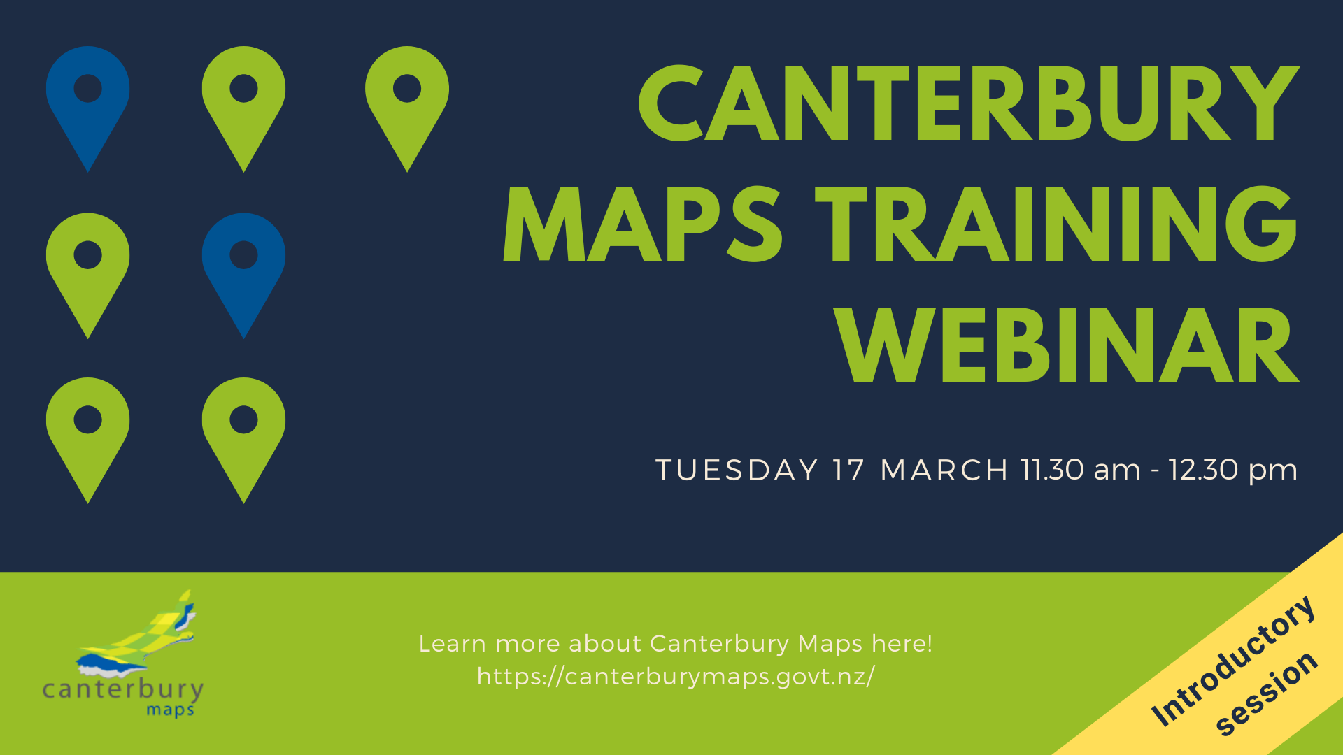
Join us for a webinar to get a better understanding of Canterbury Maps. This training session will help you use Canterbury Maps more effectively and efficiently for your work.
Open to all:
This webinar would suit those who are new to Canterbury Maps or unfamiliar with spatial data. If there is interest, we may schedule a session for more advanced users.
Find out more:
Training guides and helpful resources can be found here: https://canterburymaps.govt.nz/help/
After completing this course, you will be able to perform the following tasks:
-
Exploring the Canterbury Maps website
-
Using Property Search to find information about a property
-
Getting started with the map viewer
-
Finding and adding layers to the map
-
Using imagery in the map and finding the date it was captured
-
Printing a map for a report or document
Further information on how to join the webinar will be sent via email to those who register.