News
Overnight on Tuesday 7th November we updated the soils related information available through Canterbury Maps. This update reflects the newest available soils information.
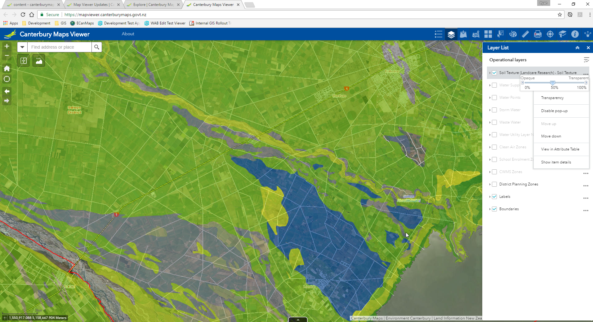
The soil layers combine data from Landcare Research Ltd's S-map dataset (https://smap.landcareresearch.co.nz/) with lower resolution data from Land Resource Inventory for areas where S-map quality data has yet to mapped. Each unit includes a data source field that indicates the source of information. The layers are presented in Canterbury Maps primarily for the purpose of providing information for nutrient management.
Part of the update include newer data for the Port Hills area of Christchurch. Additionally the layers have been reviewed by Environment Canterbury Land Scientists, which has lead to some structural changes to the each of the data sets in the form of additional fields and some fields being renamed.
Because of these structural changes, we have made some configuration changes to the viewers and applications within Canterbury Maps. If you experience any issues with these applications, try clearing your temporary inter files or running the applications in incognito/private mode - this should force the browser to download the most recent settings.