News
Imagery Service reuse by SCIRT
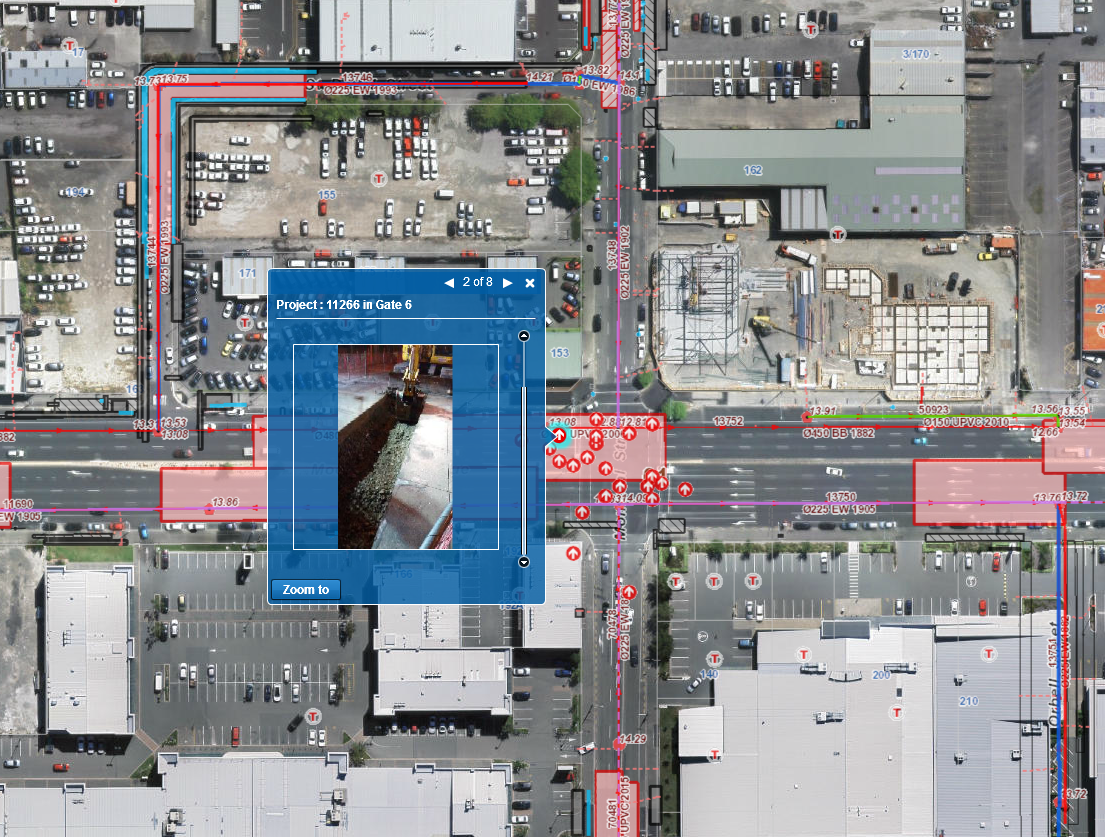
The SCIRT GIS viewer provides access to over 600 layers of information relevant for the whole SCIRT team with over 1300 users who are involved in rebuilding Christchurch’s wastewater, stormwater, fresh water and roading infrastructure. SCIRT are now using the Greater Christchurch Latest Imagery direct from the Canterbury Maps GIS server as their basemap, giving up-to-date context to these data layers.
SCIRT have saved IT storage and image processing costs by reusing the imagery services rather than serving this out ourselves, and benefit from the greatly improved speed of the Christchurch latest imagery service.
Next time you're looking for data to download, consider reusing our services available from Canterbury Maps Open Data, find out more here.
